Interactive Bay Area Travel Map
Here’s a great example of visualizing planning data. One Bay Area, a collaboration of the four planning agencies around San Francisco Bay, has created the Bay Area Travel Map, which lets you interactively explore transportation and housing data for any point in their region.
You can use the map to see how far you can get by auto, bike, transit, or on foot; and you can see which of those places have median home prices within your reach.
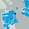
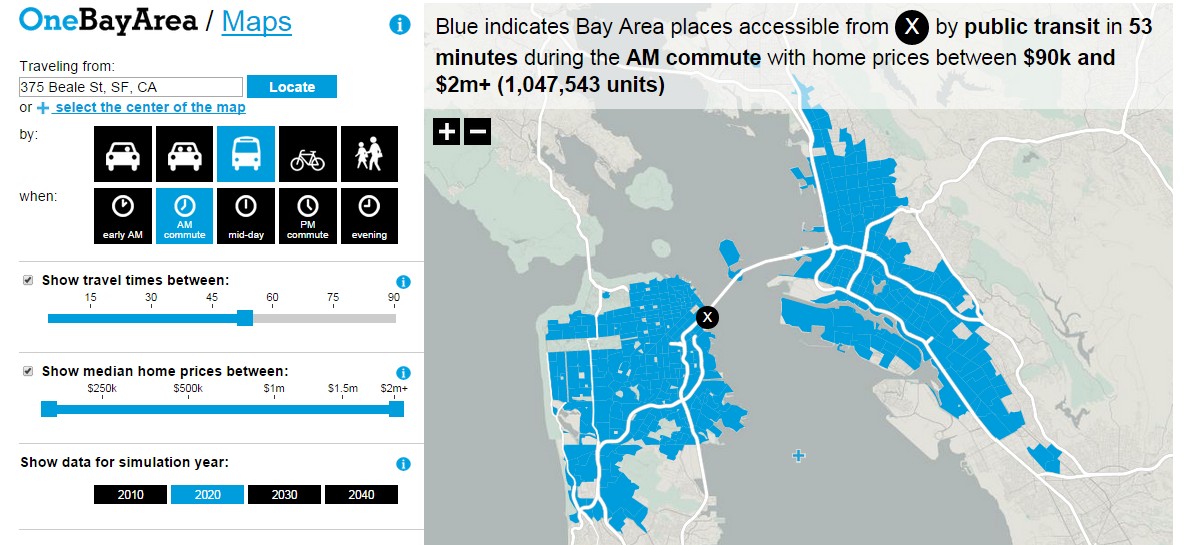 Plan Bay Area's interactive travel map lets you see how far you can get from any location by auto, transit, bike, or on foot. Source: One Bay Area |
Best of all, the code for building the map is open source, so here at PSRC we’re hoping to put something similar together soon.
- Story: http://onebayarea.org/related-materials/Bay-Area-Travel-Map.html
- Interactive Map: Bay Area Travel Map
- Code: is on GitHub
Hat tip to Dave Ory of the Metropolitan Transportation Commission who alerted us to this new bucket of awesome on the web. Really amazing, creative work, Dave!